Trails

Click on any picture with a border for a larger view!

Now  for most of my trails you can download my GPS track (bread crumb trail) as well as the map of my track. For more info Click Track Info


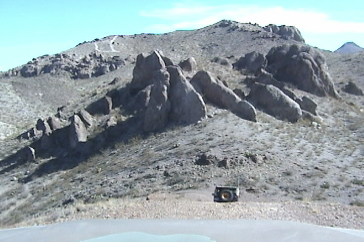
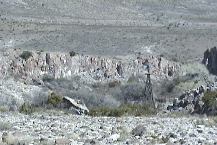
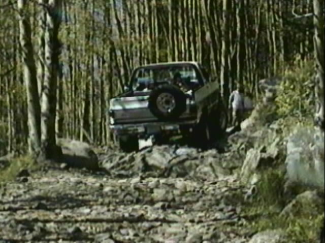
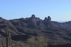
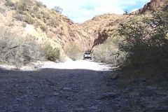
This is your gateway to the adventure! From here you can visit the remote areas where we are still allowed to gain access!  Maps, GPS tracks, WayPoints and the all important personal observation.

Pick a State and find a trail
 
AZ
CA
CO
NM
UT
 

GPS tracks, WayPoints and pictures of the interesting places we visit.  The trails web page will also connect you with maps of the trails, trail descriptions photos of the scenery offered for those of us who are willing to "travel to road less traveled"

Caballo Lake

Dona Ana Trail

Rustlers Fire Trail

New Trail in NM!
We take a 1/2 day jeep trip through the sand stone of Gallup NM


--- !/2 day trip into the sandstone outside of Gallup NM. And what about the pretty woman with the BIG gun!

GPS Track

GPS WayPoints

Maps

We go to Las Cruces NM and partake in the
Chili Challenge

Hopping Jalapino

/\
San Diego Mt. Trail   \/

ChokeCherry Trail in UT

Holy Cross City in CO

CA
We go to Death Valley and explore Titus Canyon
 An easy drive with a dizzying variety of scenery.

AZ

Picketpost Mt trail

Box Canyon trail

Martinez Canyon


[Video, Jeeping 101]

[Welcome page]

[Track info.]

The Odyssey

[Odyssey] [Day 8-14] [Day 15 -21] [Day 22 - 28] [Day 29 - 35] [Day 36 - 42] [Day 43 - 49]

[City Answers] [Foliage Answers]

Articles

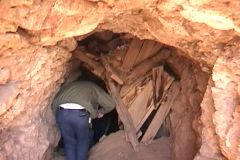
[the shaft] [airing down] [Salsa] [Air Compressor] [Cooking Meatloaf]
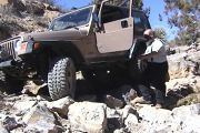
[Trails]

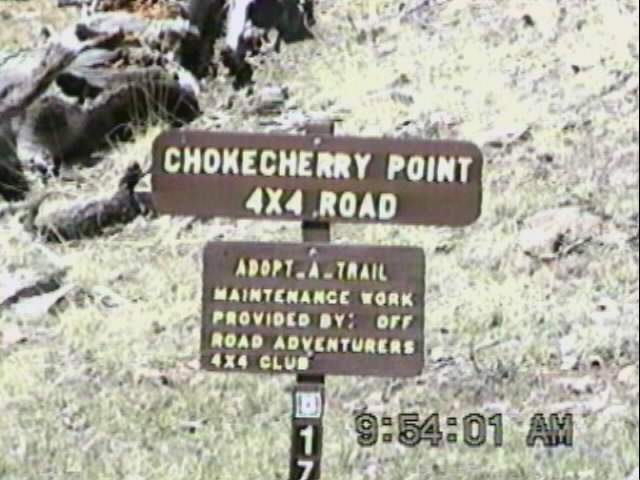
[Choke Cherry] [Holy Cross] [Death Valley] [Chili Challenge] [Caballo Mts] [Gila NF Trip] [Titus Canyon]

[Woodpecker Mine]  [Picket Post]  [Box Canyon]

E-mail chris@seetheusabyjeep.com


E-mail Support@seetheusabyjeep.com